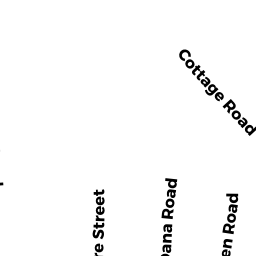
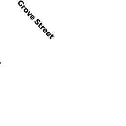
59 GROVE ST
Owner Information
HABIB LINDA A
59 GROVE ST
WEST ROXBURY, MA 02132


Property Details
59 GROVE ST is classified as a Single Family Residential (Cape).
The primary structure on this property was built in 1920. There is 1,100ft2 of residential/living space within this property. This property is listed as having 4 rooms.
59 GROVE ST is valued at $300,900. The land is valued at $107,800 and the structures are valued at $193,100.
The most recent deed for 59 GROVE ST is recorded at the local registrar in Book 14651, Page 181. 59 GROVE ST was last sold on Thursday, April 28, 1988 for $125,000.
Assessment data from fiscal year 2020.
Flood Data
According to the FEMA National Flood Hazard Layer, this property does not appear to be in a flood zone. It may also be in an area not yet reviewed. Nonetheless, confirm this information prior to taking any action.
To view the flood hazards around this property, create a FEMA "Firmette" Map of the area around 59 GROVE ST.
Broadband Internet Providers
| Provider | Type | Bandwidth (mbps) | |
|---|---|---|---|
| RCN | Cable | 1000 | 20 |
| Crown Castle Fiber | Fiber | 0 | 0 |
| RCN | Cable | 500 | 20 |
| T-Mobile | Fixed Wireless | 25 | 3 |
| GCI Communication Corp. | Satellite | 0 | 0 |
| HughesNet | Satellite | 25 | 3 |
| VSAT Systems, LLC. | Satellite | 2 | 1 |
| Comcast | Cable | 1000 | 35 |
| Verizon New England Inc. | Fiber | 940 | 880 |
| Viasat Inc | Satellite | 100 | 3 |
| Verizon New England Inc. | DSL | 3 | 0 |
Broadband service provider data from December 2020.
Adjacent Properties
- Grove ST
Undevelopable Residential Land owned by S M LORUSSO & SONS INC - DELOS ST
Undevelopable Residential Land owned by S M LORUSSO & SONS INC - DELOS ST
Undevelopable Residential Land owned by S M LORUSSO & SONS INC - 2 GROVE TE
Two-Family Residential owned by GILL MICHAEL J TS - 63 GROVE ST
Single Family Residential owned by GREEN ARTHUR W